Binn – Schaplersee – Heiligkreuz – Binn
Open
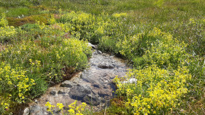
The hike leads from Binn through the hamlet of Wilere, ascending quite steeply through the mountain forest up to the Kaffeestafel.
Hiking trail
Time required: 5 hoursLength: 11.50km

Parking days at Untergoms School
Learn more!
© Landschaftspark Binntal

Hiking trails are generally accessible paths that are usually intended for pedestrians. There are no specific requirements for walking on these paths. They are marked in yellow.
Mountain hiking trails are hiking trails that sometimes open up impassable terrain. They are predominantly steep and narrow and sometimes exposed. The signposts are yellow with white-red-white tips, confirmations and markings are white-red-white.
Alpine hiking trails are challenging paths. They sometimes lead through pathless terrain, over snowfields and glaciers, over scree slopes or through rock with short climbing sections. These trails require good equipment and very good surefootedness. The signposts are blue with white-blue-white tips, confirmations and markings are white-blue-white.
Stoneman Glaciara Hike: Following the success of the Stoneman Glaciara for mountain bikers, this variant is now an exclusive adventure for hikers and trail runners. Over 65 kilometers in length, 3,150 breathtaking meters in altitude, 2 valley-spanning suspension bridges, 1 spectacular ridge hike and the billions of tons of ice of the mightiest glacier in Central Europe - that's the Stoneman Glaciara Hike. You can find more information here.
Please note: Always close the gates on the hiking trails!
The hike leads from Binn through the hamlet of Wilere, ascending quite steeply through the mountain forest up to the Kaffeestafel.
The highlights of the Binner Alpe in one day: alpine pastures, the lonely and mineral-rich valley of the Turbewasser, the high moor on the Blatt and the idyllically situated Halsesee.
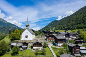
The starting point for this cultural trail is the village square in Ernen. The hiking trail begins at Michligschrota via Mosshubel to Mühlebach. From there it leads up the steep village street to the chapel. The panoramic trail back to Ernen begins a
Circular trail starting in beautiful Grengiols in the direction of Tulpenhügel. After a short hike, you reach Bächernhäusern and then return to the village.
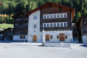
A village tour through the historic town of Ernen
Beautiful hike starting in Lax via Deisch to Grengiols
This walk leads from the old village center of Ernen to the Mosshubel and then to Mühlebach. Via the old village center of Mühlebach and the panoramic trail, you return to Ernen. A detour to the suspension bridge is worthwhile.
This short circular walk leads from Ernen Mühlebach across the suspension bridge to Fiesch. From there, it continues towards Niederernen and back to Ernen.
This hike takes us along the Chapel Trail to Uf en Egga. Enjoy the beautiful panoramic view over the Rhone Valley there. From there, it's all downhill towards Ausserbinn.
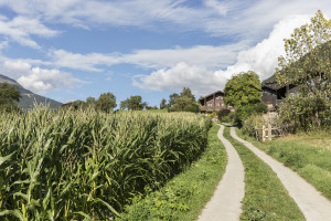
The hike starts in the hamlet of Fäld and first leads across mountain meadows and through the forest to the Eggerebode.